
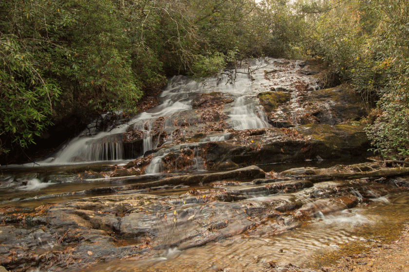
GPS for waterfall: 34.92934, -83.13058
Water source: Licklog Creek
Height: Approximately 80 feet total, upper and lower sections
From the base:
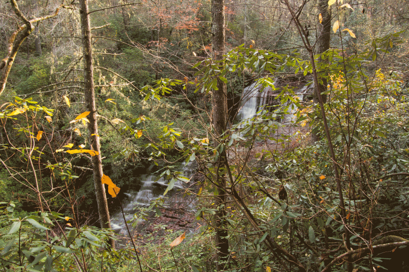
The upper sections of Licklog Falls as seen from the trail. They are hidden from view at the base of the falls, where Licklog Creek empties into the Chattooga River.
Parking: Going north on Highway 107, turn left onto Village Creek Road. In approximately 1.8 miles, turn right onto Nicholson Ford Road. Follow this road to the end, approximately 1.9 miles, to the parking area, GPS 34.92488, -83.12238. This is the same parking for Pigpen Falls and Ira Branch Falls.
Hike: The hike to Licklog Falls is approximately 2 miles round trip. There is a well-defined trail the entire way. The trail makes a sharp left, with signs for the Chattooga Trail. You will pass Pigpen Falls on the way. There is a steep trail down to the base of Licklog Falls.
