
Waterfall GPS: 35.02873, -82.98523
Water source: Unmapped tributary
Waterfall height: approximately 25-20 feet
This waterfall is roadside along Musterground Road (Bad Creek access), which is open seasonally. 4WD is necessary for this road in places. This waterfall is best seen after a period of heavy rain.
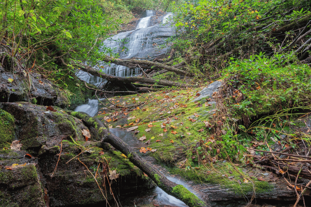
This is referred to as Hal’s Falls in Maxie, Sid, and John’s book, which I assume would be in honor of Hal Ballenger.
