
GPS for waterfall: 34.77516, -83.22857
Water source: Unnamed tributary to the Chauga River
Height: Approximately 20 feet
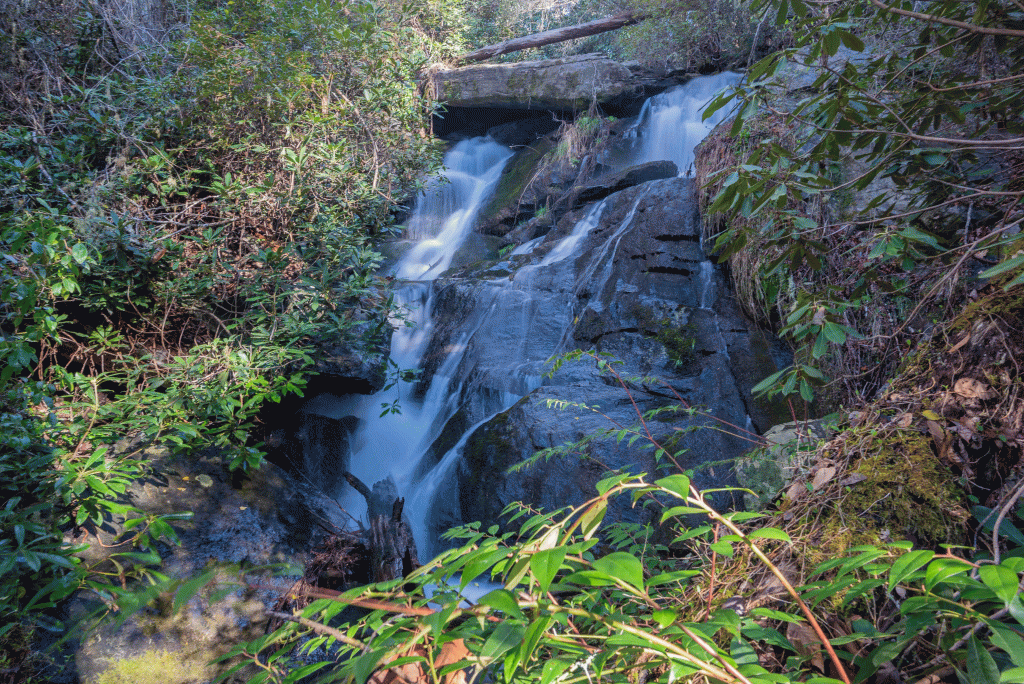

There is no trail to Joney Woodall Falls. I am unsure where the name originated, but it is listed in Some Waterfalls, Shoals, and Cascades in Oconee County, South Carolina, and in Upstate Hikes of South Carolina. This waterfall looks its best after a period of heavy rain.
Parking: Going north on Highway 28, turn left onto Whetstone Road. In approximately .7 mile, turn left onto Cassidy Bridge Road. Drive for approximately 6.7 miles, and turn left onto Double Branch Road. Go to the end of the road and park, GPS 34.77554, -83.22411. This is also an option for parking for Upper Joney Woodall Falls.
Hike: Begin the hike down the steep path to the Chauga River, and head right, following the fishermen’s paths along the river. Once you reach where the tributary flows into the Chauga, head upstream. There is no trail to the falls. Experience with map reading and off-trail hiking is recommended. The hike is approximately 1.2 miles round trip.
This scenic drop is immediately below the falls:

