
GPS for waterfall: 34.71169, -83.34092
Water source: Battle Creek
Height: Approximately 80-90 feet

There is no way to get the entirety of Battle Creek Falls in one photograph. There is more above and below what is shown here. It is one of the most awe-inspiring places in Oconee County. Everything here is big!

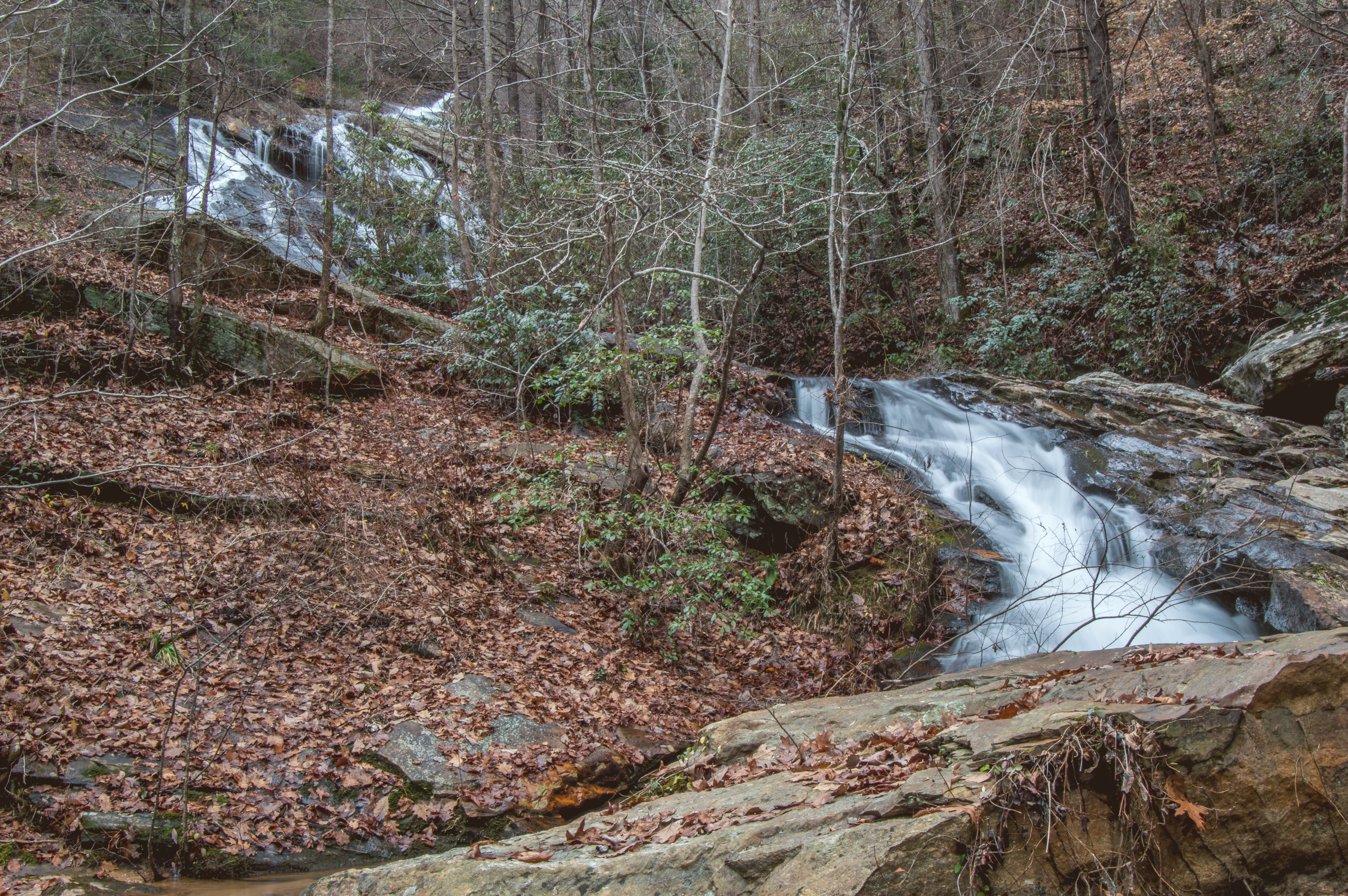
This is a view of the falls from further downstream:
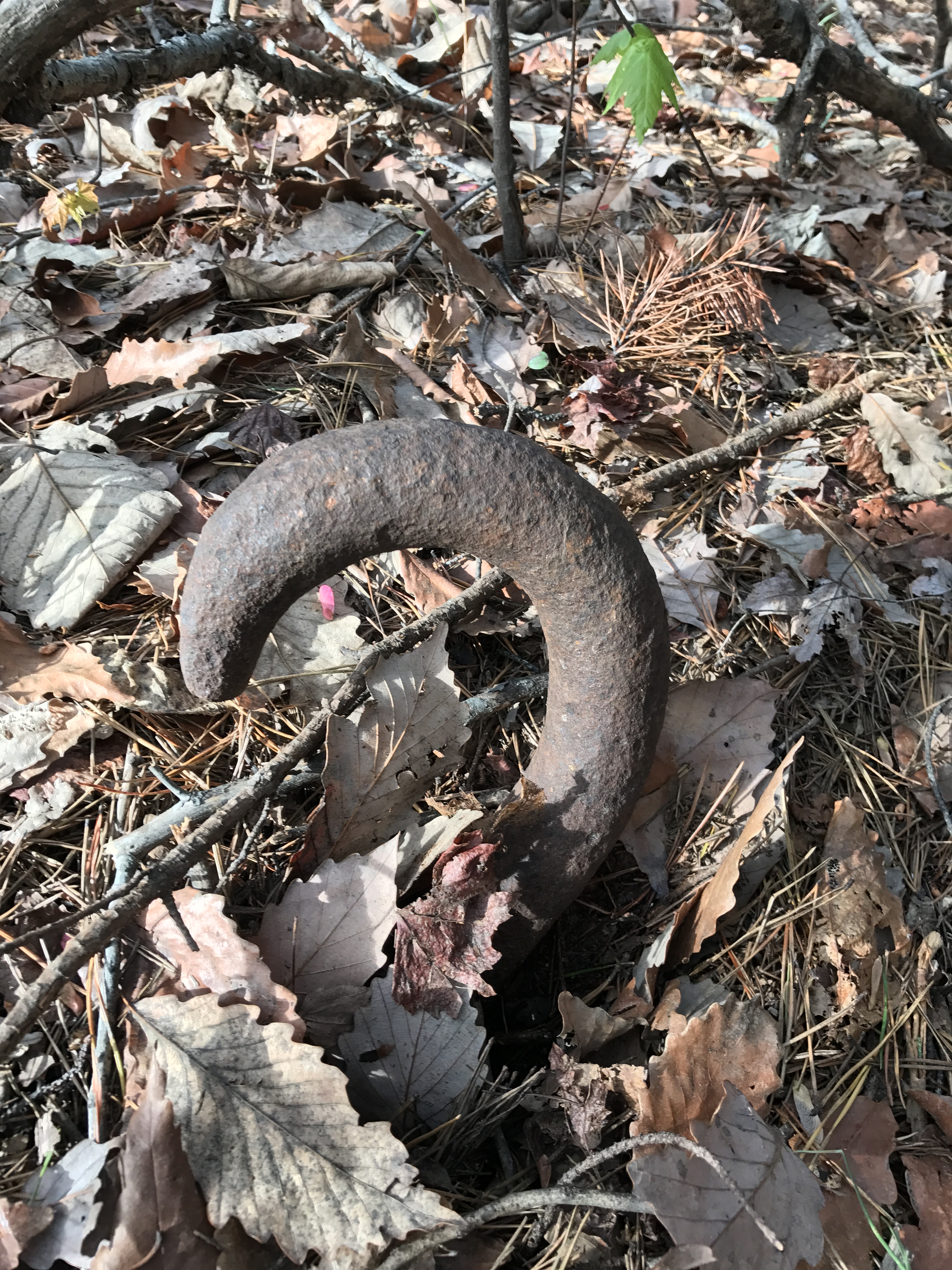
Along the way, we found some old remains from the logging era:
**As of January 2020, it appears as though the tract of land that you need to hike to get to Battle Creek Falls has been purchased by an LLC. There is evidence of a lot of flagging and boundary marking, but no development, and no “No Trespassing” signs as of September 2020. Georgia Power actually owns the tract of land that contains the waterfall. Again, no signage, but as always, be respectful of the land and its owners should you hike in here.
Park: Going west on Highway 76, turn left onto Damascus Church Road. Continue on Damascus Church Road (keeping right at Chattooga Belle Farms), continuing on after it turns to gravel. Turn onto the first dirt road to the right after you pass Whispering Wind Trail (a private drive). Follow this road to the end, where there is space to park, GPS 34.71117, -83.33101.
Hike: This hike is roughly 2.5 miles round trip, depending on your route. Map reading skills and experience in off-trail hiking are required. This hike follows a maze of what used to be logging roads before it descends very steeply down the mountainside. You’ll want to descend at approximately 34.71238, -83.34016. Descending farther upstream will land you atop a massive rock wall.
Immediately above Battle Creek Falls is another scenic drop. From the hillside, this is what it looks like:

Up close, there is a nice overhang, and my friend Mark Oleg provided a shot of it from just downstream.


