
GPS for waterfall: 35.01641, -82.99368
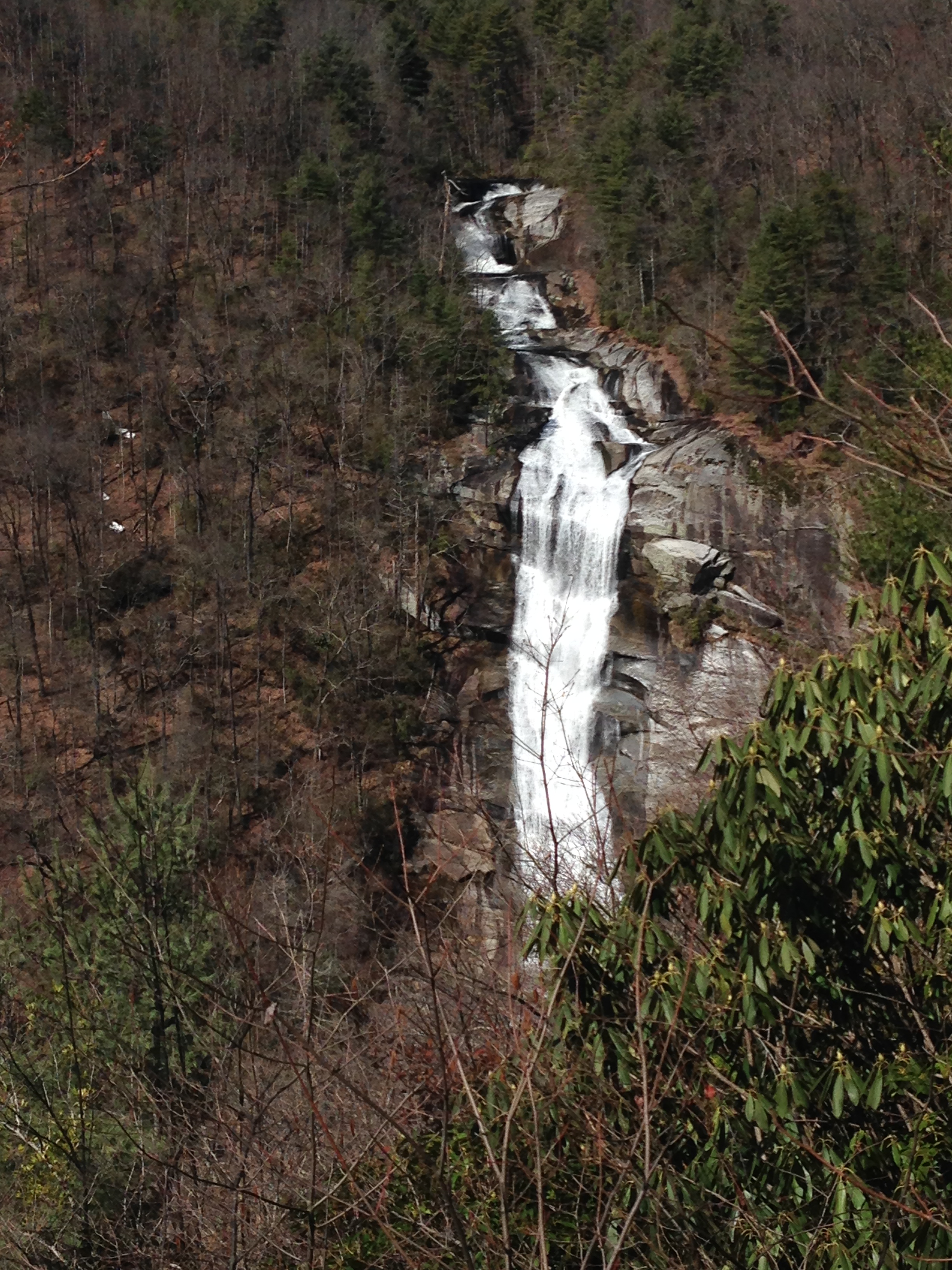
Water source: Whitewater River
Height: Approximately 200 feet
In the winter months, the view from the overlook shows the waterfall and the plane crash to the left. In summer months, the greenery hides much of the waterfall from view.
The hike to the base of the falls, both from river right and from river left, are unofficial, unmaintained trails. They are both very steep, but the river right trail is the steeper of the two. Extreme caution should be used. This area is dangerous and has claimed many lives. Any attempt to see this waterfall from the base should be at your own risk.
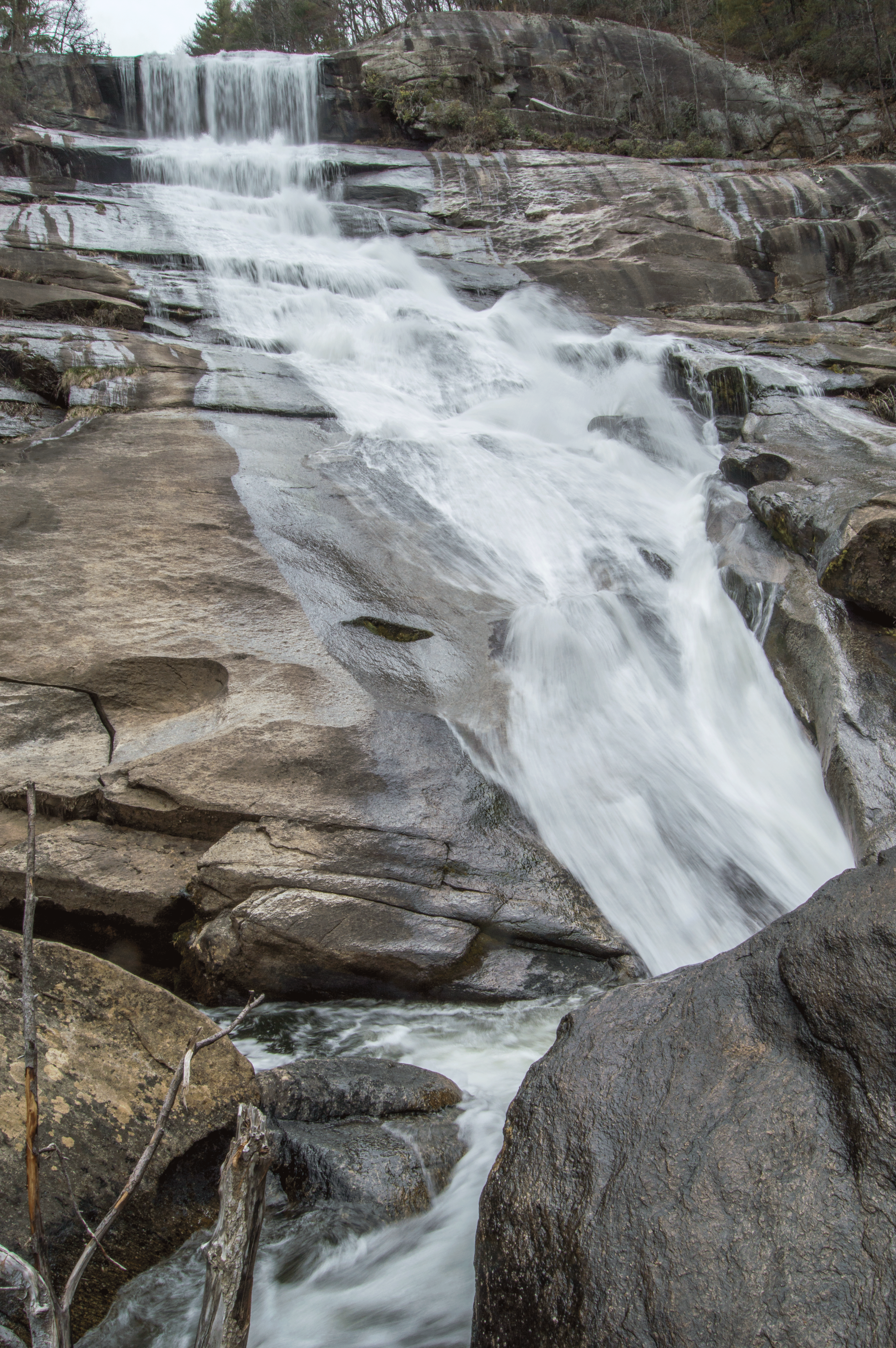
The river right “trail” affords a close-up view of the upper portion of the falls, seen here:
Along the way to the base of Lower Whitewater Falls from river right lies the remains of a small plane, which crashed in 1972, killing all four of its passengers.

From the base, from the river right “trail”:
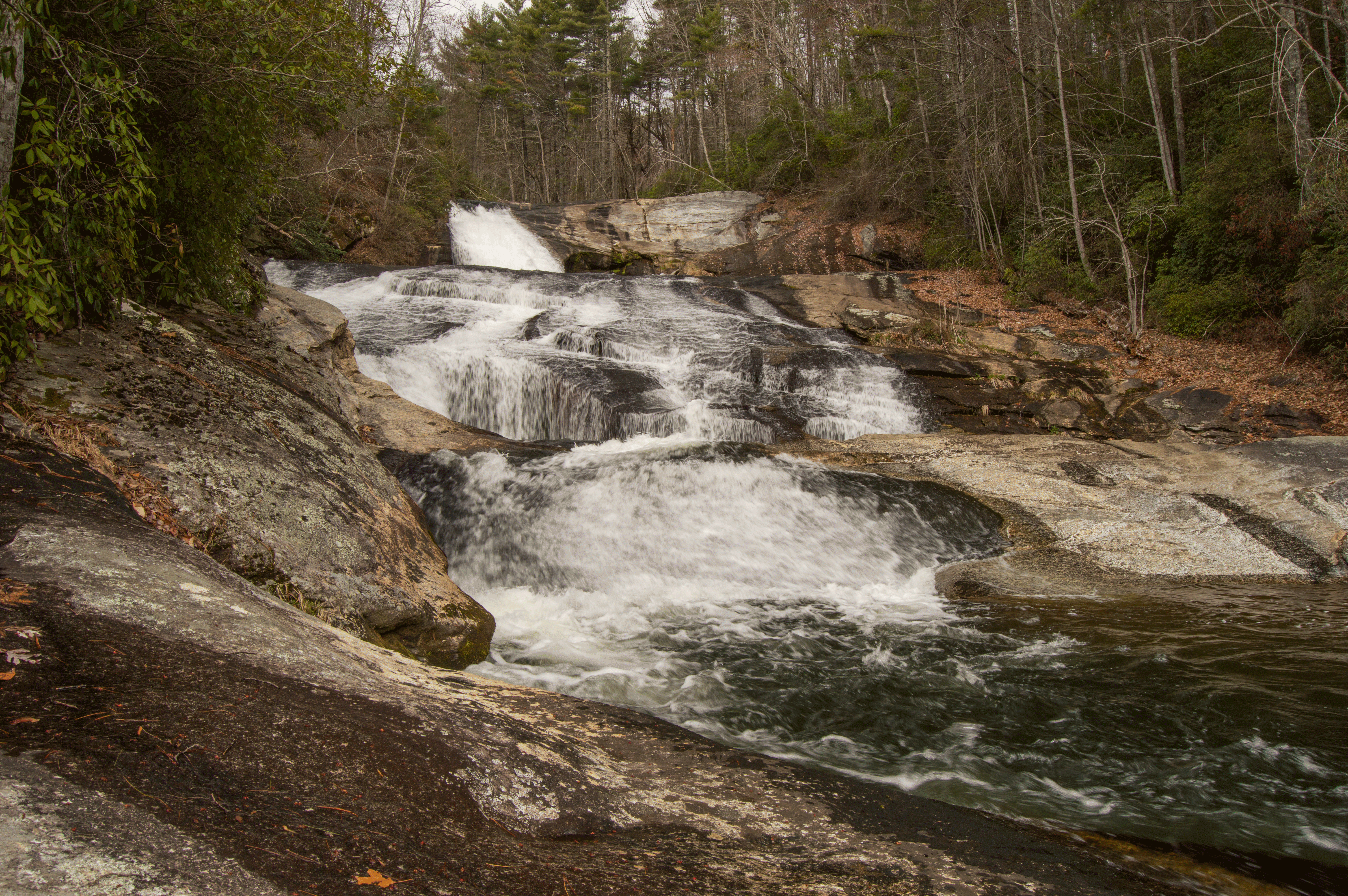
There is a path to the base from river left, that begins just beyond the bridge on Musterground Road. This path is fairly worn and is easy to follow. It also affords up close views of the upper portions of the falls, but you must use caution as a slip and fall into the water here would be deadly.
The path follows some nice cliff overhangs and drops you out at the base of the falls, affording excellent views.

Parking: Heading north on Highway 11, turn left on Whitewater Falls Road. In 9.9 miles, turn right onto Bad Creek Road. Drive for 2 miles, and turn left, and park in the parking area, GPS 35.01204, -82.99932.
Hike: The hike to the overlook begins at the Foothills Trail access. Follow the blue blazes. The hike is approximately 4.4 miles round trip.
