
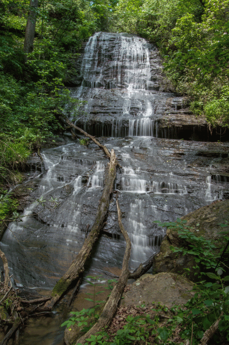
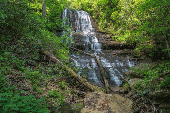
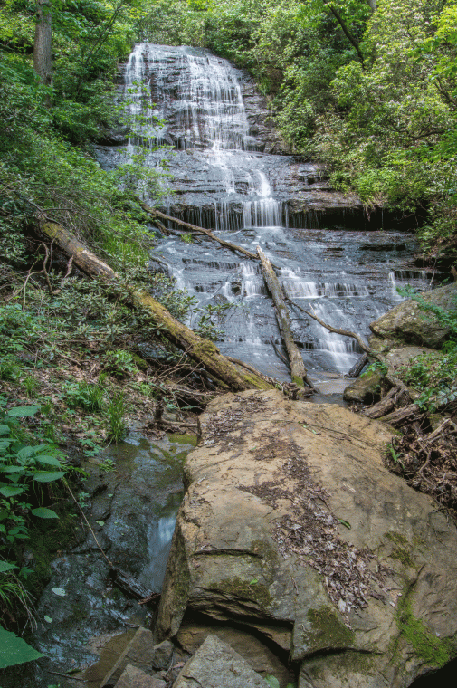
GPS for waterfall: 34.84956, -83.08678
Water source: Unnamed tributary
Height: approximately 60 feet
Parking: Heading north on Highway 11, turn left onto Oconee Station Road. Drive for 2.2 miles to the trailhead on the left. GPS for parking: 34.84888, -83.0742. This is the same parking and trailhead for Station Cove Falls, Don’s Falls, Twin Cove Falls, and Station Creek Falls.
Hike: Experience in off-trail hiking and map reading is required for these falls. Hike along the Station Cove trail, making a right on the Palmetto Trail where they split. After you have hiked approximately 1.2 miles total, leave the trail at around 34.85061, -83.08516. and head down the mountain to the creek. This is incredibly steep, and going too far to the left will put you directly over the brink of Station Cove Falls, where a fall would likely be deadly. Too far right will put you in another cliffy area that you won’t be able to descend, so you have to get to the creek in between the cliffs. To get to Upper Cove Falls, you will have to climb up and around Twin Cove Falls along river right and head upstream a few hundred feet.
