
Waterfall GPS: 34.74191, -83.33097
Water source: Unnamed creek
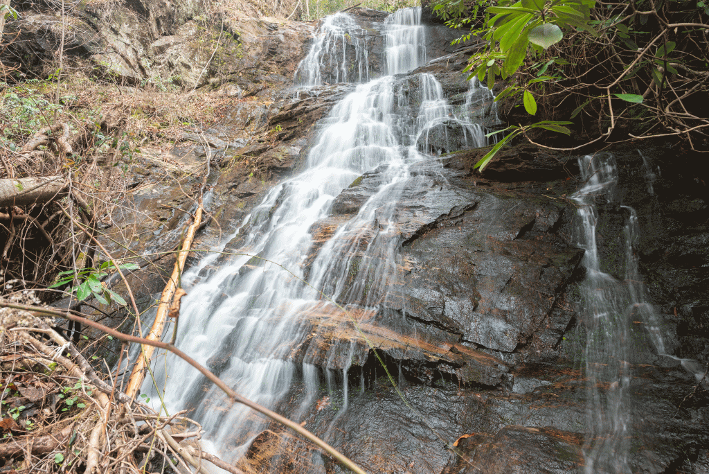
Waterfall height: Approximately 85 feet
While this waterfall is arguably one of the most beautiful in Oconee County, and just a short distance from Lake Tugalo, it is not an easy one to reach. The terrain here is rugged, and steep, and this one should not be attempted by anyone not experienced in hiking and bouldering off trail.

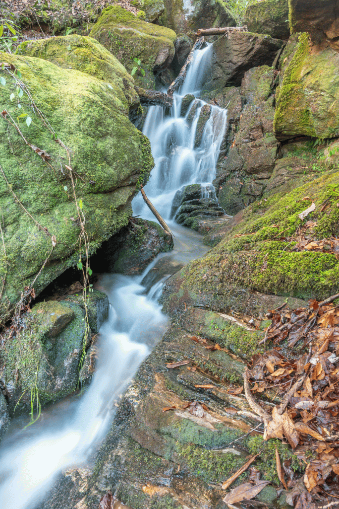
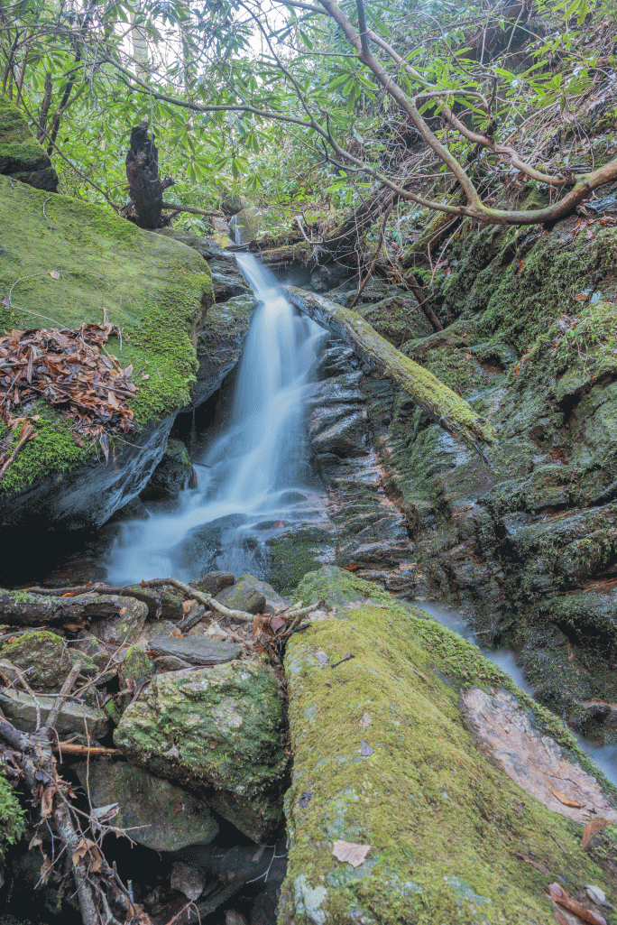
Below the main falls, there is a two-tier drop, Lower Devil’s Tail Falls. The base of the lower section is at 34.74187, -83.33147. Depending on how you classify waterfalls, you could call it Lower and Middle Devil’s Tail, but they are so close together that I feel it’s more accurate to consider them one drop. Together, this drop is probably 40ish feet high. Pictured here is the lower tier, and then the upper tier.

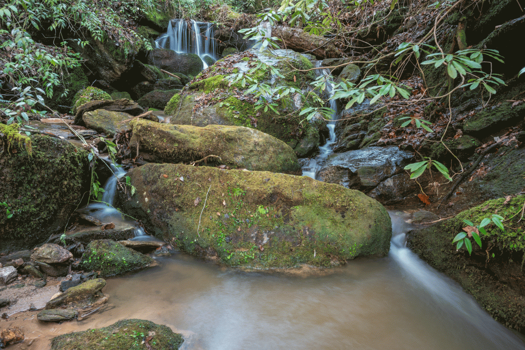
In addition to these drops, there are a few much smaller drops on Devils Branch, upstream from the confluence. They are pictured here, although these were taken after a period of heavy rain, so I imagine during drier periods that the flow on Devils Branch is so small that it would not be worth a special trip just to visit these.
While coming from the lake would be the shortest route to Devil’s Tail Falls, it’s still not easy, and caution and common sense are needed. Please do not underestimate the ruggedness of this area. The safest route via land I’ve found is to come down Devils Branch via an old logging road, and then creek walk and sidehill down to the confluence of the two creeks, and then back up to the falls.
